|
Friday, May 27, 2016 Lindsey and I reach Fuller Ridge about 9am. We start with a gentle downhill slope, the same slope I had walked when looking for Brian a few weeks earlier. Obviously, Brian and I hadn’t continued hiking the next day. Instead, we drove down and enjoyed a Mother’s Day brunch without our mothers at the local casino. That last 20 miles of downhill would have been a disaster for my knees in the condition they were in—I wasn’t able to sleep through the night because of the stabbing pain every time I shifted in my sleeping bag. I was worried I had done permanent damage, but they were back to normal within a week. So instead, Lindsey will hike this section with me. Brian and Jon, another friend, will pick us up tomorrow at interstate 10 to take us around another fire closure, and the four of us will continue the hike from there. The downhill is easy, and the morning is warm, but this section is shaded by tall pines. In the gaps between trees, we can see tiny windmills far below us, and there is a small cap of snow on the San Bernadino mountains across way. I find this part of the trail to be particularly interesting. For the most part, the PCT follows several mountain ranges. That’s true here, too, but there’s a gap between the San Jacinto mountains, where we stand, and the San Bernadino mountains. This plunge is enormous—almost nine thousand feet from the top of Mt. San Jacinto. The ecology changes by the hour. 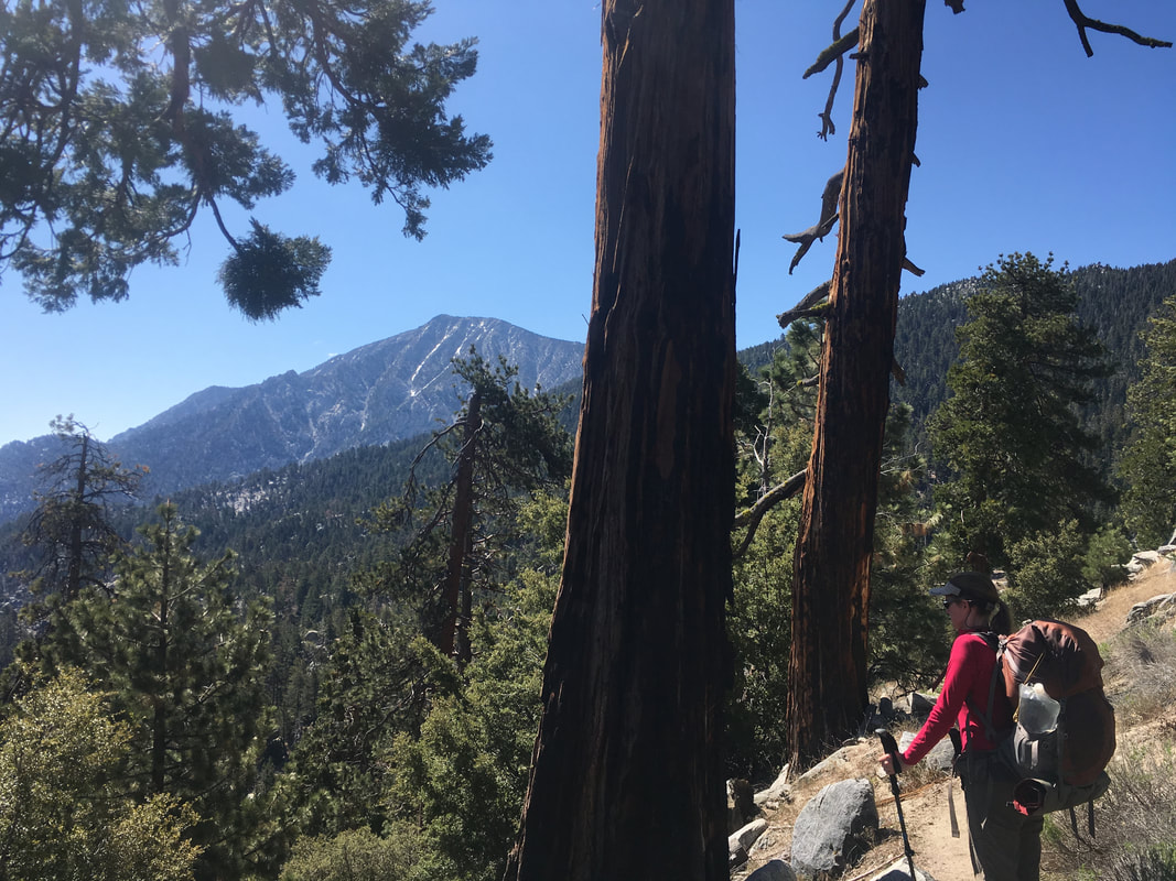 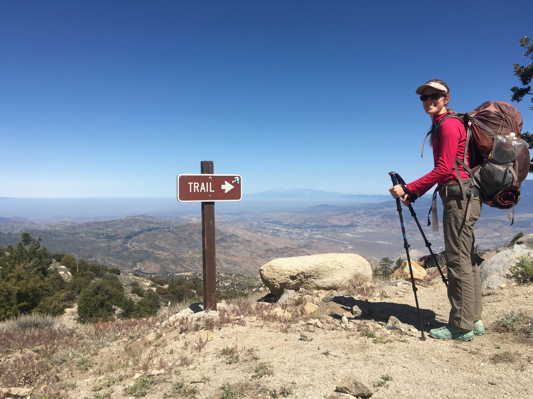 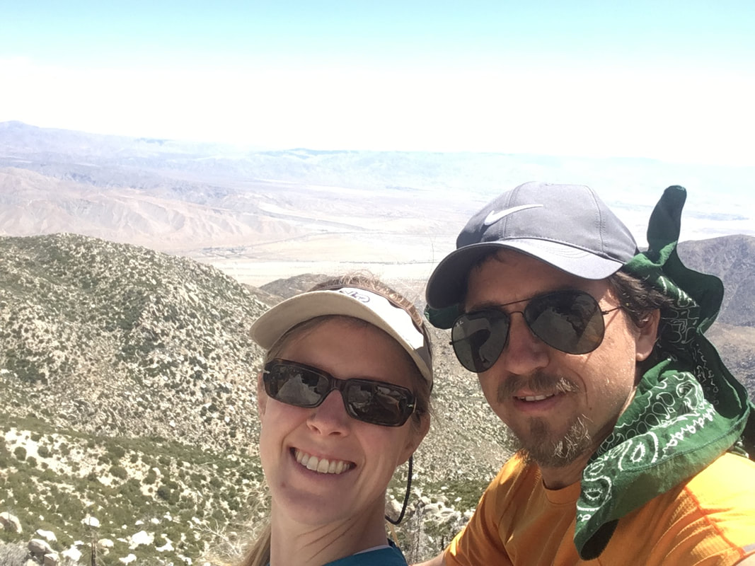 After less than an hour of hiking, the woods disappear and the warmth jumps dramatically. The trail follows a short ridge, then begins a series of switchbacks. For hours, it seems like we are pacing the same section of trail. Switchback one: view of the desert valley, tiny windmills, the long runway of interstate ten extending into the bright hazy distance. Switchback two: the domineering face of Mt. San Jacinto. Switchback one, switchback two, switchback one, switchback two… 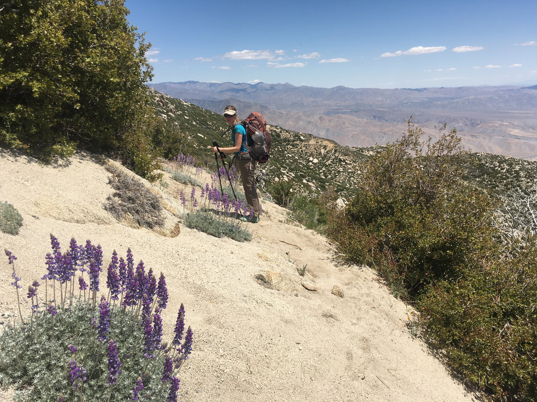 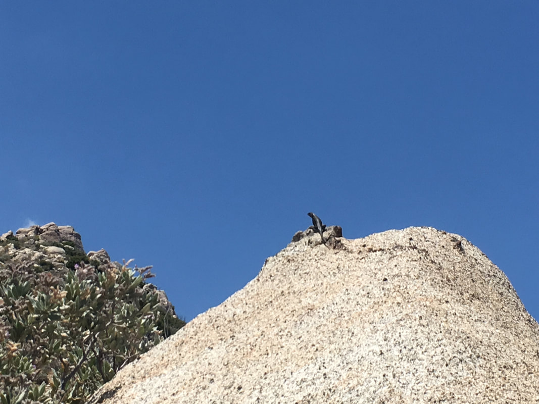 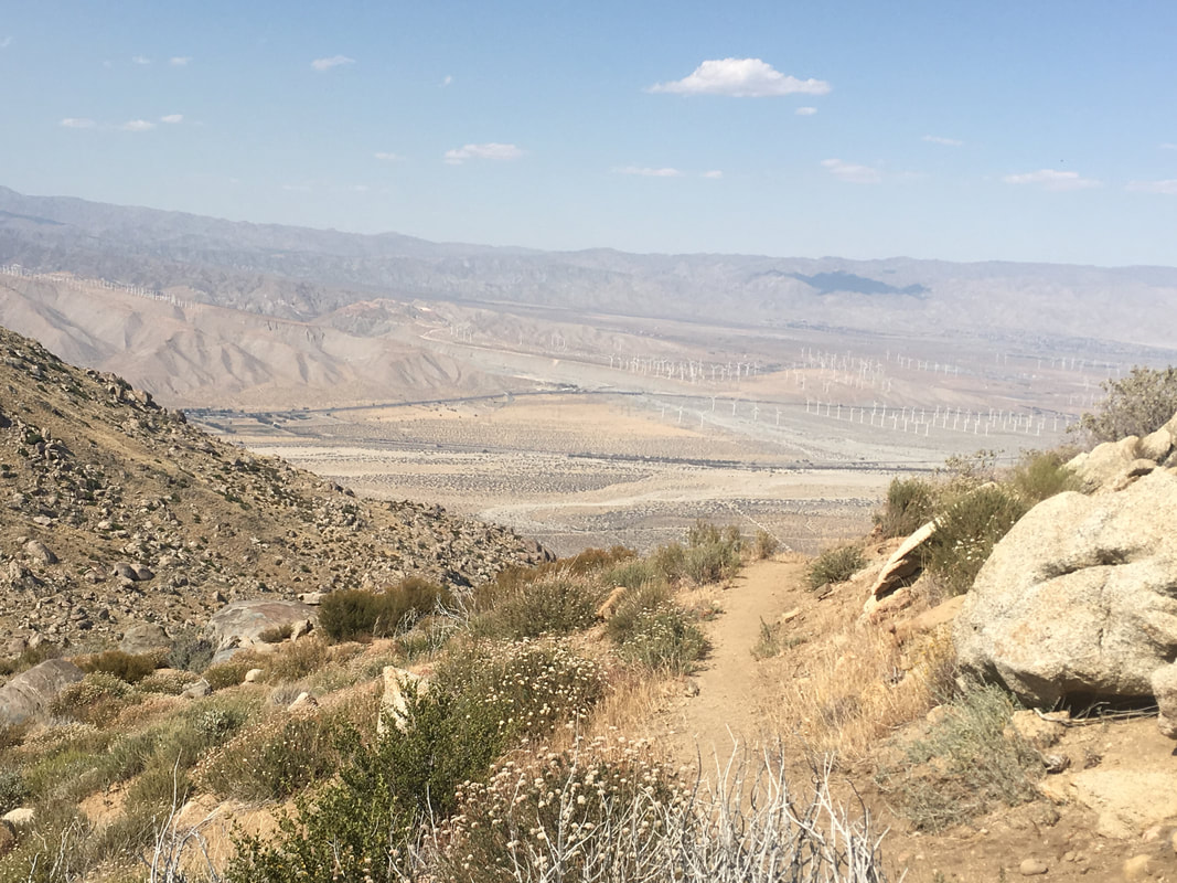 Around 1:30 the heat and a lack of sleep get to us, and we decide to stop and take a nap. There is no shade here, so we set up my rainfly without the tent to serve as a sunblock. It blocks the worst of the sun’s rays, but with little movement in the air, our body heat quickly warms the space. My thermarest is slippery with my sweat within seconds, and sleep seems out of the question. Nonetheless, we are able to take short catnaps on and off for about an hour before my heart starts to race and I am gasping for air. I climb out from under the rainfly and the temperature seems to have dropped a little. There is even a small breeze. I drink some water, which calms my heart, and wait for Lindsey to emerge. We continue our downhill, pass two male hikers, the first of the day, and reach the 200-mile marker. A half mile later, we find another 200-mile marker. I wonder which is correct. 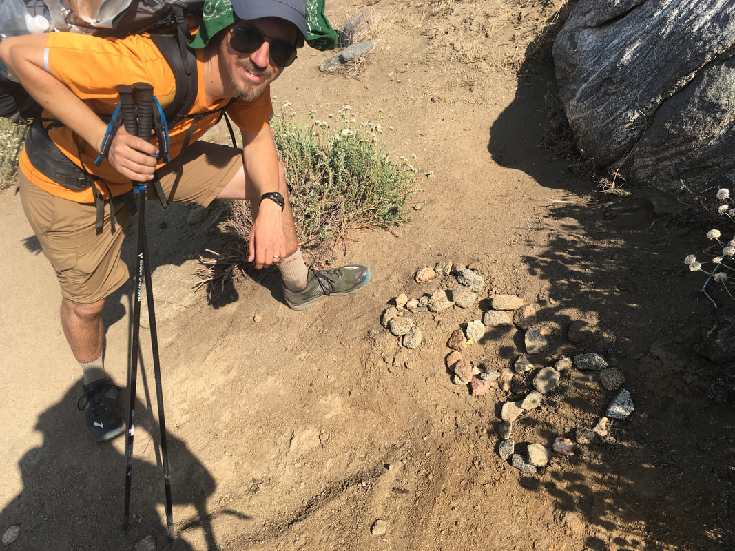 The view on switchback one seems to be getting a little larger, while switchback two recedes ever so slightly. I guess we are making progress. The wind picks up gradually until it reaches a consistent stiffness. No major gusts, but fairly strong and constant. The slope starts to open up, and soon there are actual flat areas near the trail. Lindsey and I start to look for a campsite, and find one behind a boulder large enough to protect our tent from the wind. We eat dinner early, then wander around and explore the nearby boulder formations and look out over a nearby dropoff. It’s a relaxing, enjoyable evening, and we even have a couple hours to read our books before dark. 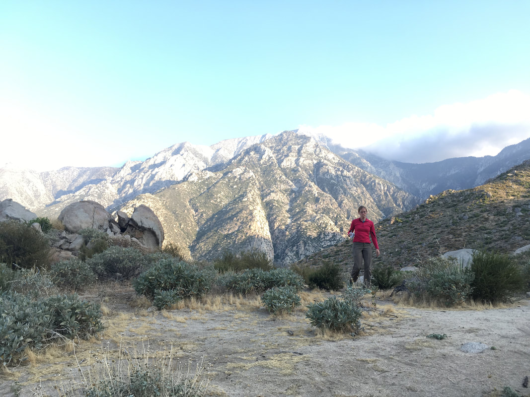 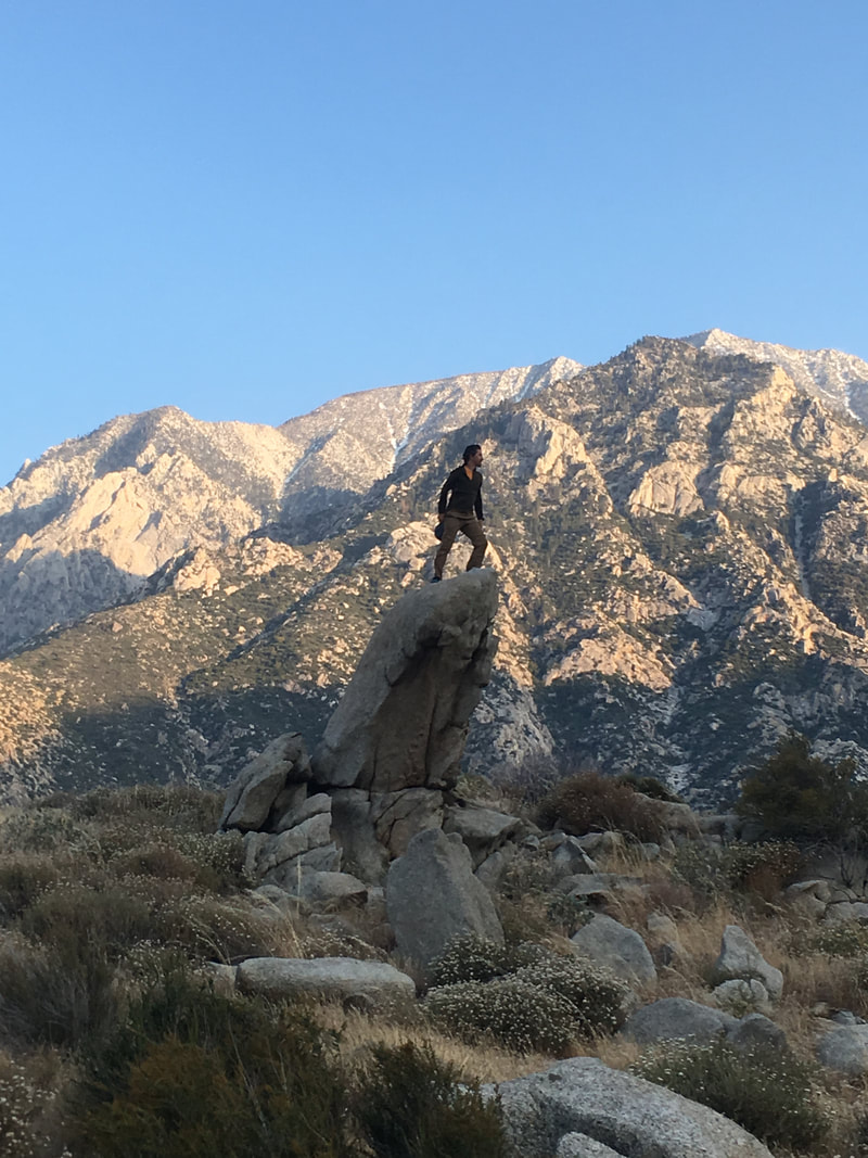 
0 Comments
Your comment will be posted after it is approved.
Leave a Reply. |
Author
Nick is a teacher, writer, and amateur adventurer. Archives
June 2020
Categories |
 RSS Feed
