|
When we wake, it is cold, but it is the dry type of desert cold that presages a hot day. Our campground is next to interstate 8, and our first act after breaking camp is to pass underneath the wide bridge. Shade from the bridge and a small creek have given a few aspens and other foliage a chance to flourish; an unlikely oasis. Years ago, I lived and taught in Phoenix, Arizona. My sister lived in San Diego, and my mom in Temecula, so Interstate 8 was a fairly common route for me. Every time I would pass this area, I would look for the PCT and imagine that every dirt track I saw could be it, so this crossing is laden with meaning for me. As it turns out, I misjudged the location of the crossing by about a half mile on my drives. As we emerge from under the bridge, I imagine future travels along this corridor and I already view this moment as a memory.  We begin a steep climb, and within minutes we are stripping layers of clothes. A few switchbacks later we pass a young British woman with red hair in a bob cut. She has traveled here to hike the trail, but already has doubts about her ability to finish. This is much harder than she expected, she says. She is hiking alone, and I think it is this as much as anything else that is hurting her spirits. I encourage her to stick it out until the Sierra, and I try to express the colorful beauty of those mountains, but how can I? She tells me they sound great, but I can already tell she will quit long before then if her experience doesn’t improve soon. This climb is already much longer than the climb out of Hauser Canyon, and the day warms quickly. A rocky canyon with a few pools of water drops away on our left, and clumps of bright yellow poppies spring up between the rocks around us. 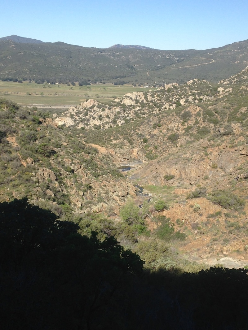 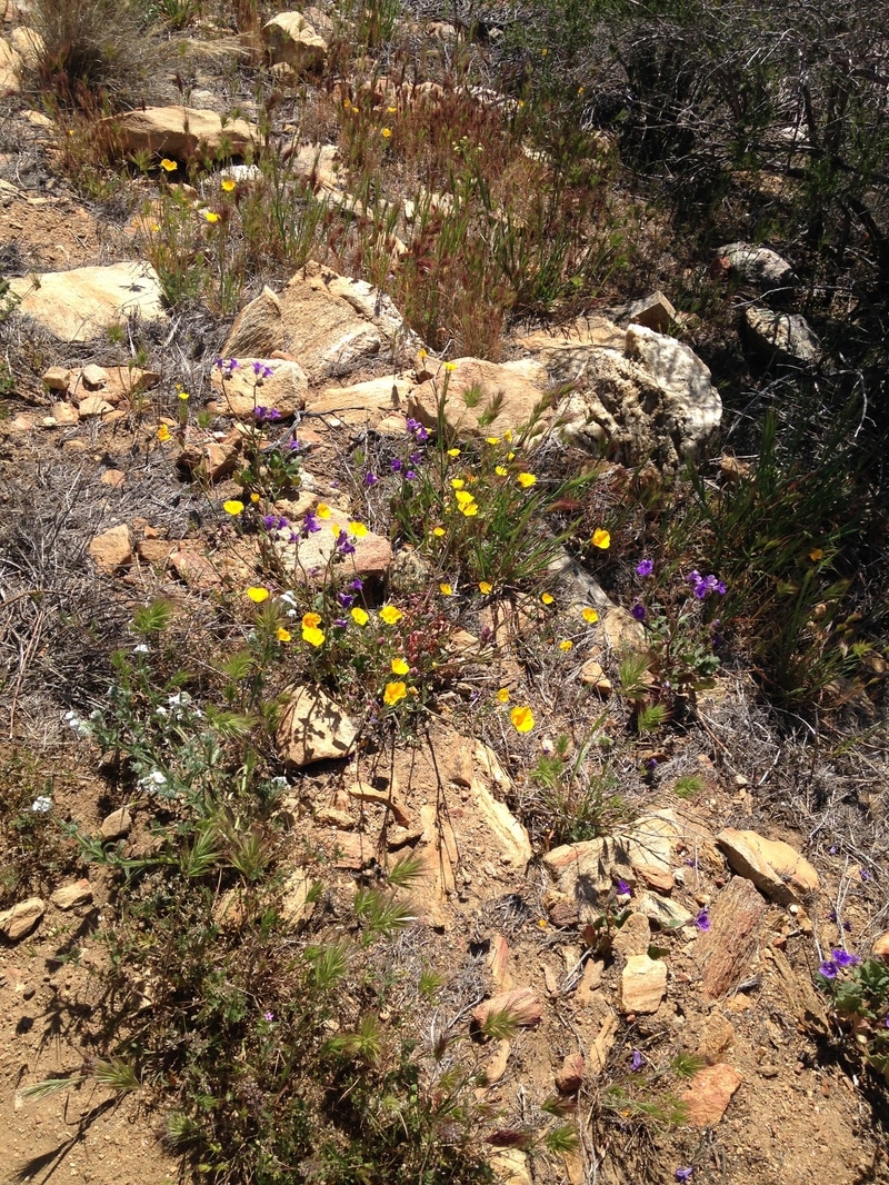 After a particularly steep section, we break at a flat rocky lookout to catch our breath. This would be a good campsite. We are already at least a thousand feet above the interstate, and I think I can still make out the border wall 30 miles south of us. I notice that we have already passed wind turbines that seemed impossibly far to the north of us on the first day, and I marvel at the hugeness of the earth, and also the speed with which we are able to traverse it. I fear that I am consuming the landscape too quickly, but I’m also ravenous. The landscape changes again as we circle east, from sand and rock to thick bushes and darker dirt. We come across a crowd of day hikers with cameras. A guide explains how to identify a bush, and the crowd murmurs polite manufactured interest; the nature walk sounded more interesting in the advertisement. We cross a road and continue around the eastern face of a mountain. The view is unbroken. The mountain side drops steeply down to the desert floor far below us, and we can see dry mountains and flat desert for at least 50 miles to the east and south. A strong, hot wind dries our skin and chaps our lips, and we struggle to stay on the trail. We rest often. 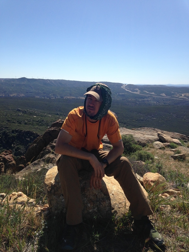 The trail continues its endless climb, and soon we are back in the chaparral, which has been cut way back so the trail resembles more of a broad sidewalk than a dirt track. The clippings are recent, and scattered along the sides of the path. I wonder whether the whole trail will be this well maintained. It doesn’t seem possible. I hike ahead for a bit, and we finally have a meandering descent, which is short-lived and blisteringly hot. After another long uphill, I climb up a granite formation and make lunch while I wait for Lindsey. Several day hikers pass, one of whom jokes that I must be practicing to be a mountain lion ready to pounce on unsuspecting hikers. Lindsey joins soon enough and we eat peanut butter and nutella burritos. As I try to produce enough saliva to swallow each bite, I quietly vow to myself that peanut butter will not be one of my hiking staples. After lunch, we both feel sluggish and weak, so when we see a flat grassy area under a large tree about an hour later, we break out our sleeping pads and lie down in the shade. I sleep for about a half hour, and then read my book while Lindsey continues to nap. No hikers walk by in the entire two hours. When Lindsey wakes, she feels much better. Trees become more common, and for the first time on this trip, we cross running water. The rill is small enough to step across, but it works magic on our morale. We still have a long climb, but the sun is less intense, and soon enough we are in a forest. A lot of fuss is made over the seven hundred miles of desert that begin the PCT, but the truth is less dramatic: many of those miles pass through islands of mountain forest. This is our first forest of the trip, and it is peaceful and open. It reminds me, in fact, of the forest around Flagstaff, Arizona, where I lived for two years and visited often thereafter. 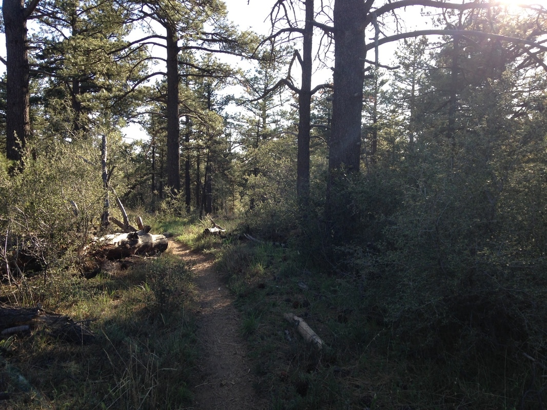 We have finished our uphill climb and meander through the forest with only minimal elevation changes. Eventually we find our way to the Mt. Laguna campground, which is artificially grassy and eerily empty. We are disheartened to find that the water is off. Lindsey is exhausted, and I wander off to the nearby road and restaurant—the Pine House Café—to look for a nearby sporting goods store. As I exit the campground, I see why it’s empty: the gates are closed. I ask about the shop, and they tell me it’s about a quarter mile down the road, but it’s already closed. On my way out, I see a sign for live music, and then I hear a crunching sound. I look over to see a silver Mercedes backing up; the driver has driven into—and knocked over—a fiberglass road marker. I walk back to the campground and see a few new tents in a nearby campsite. I tell Lindsey about the sporting goods store and the live music and we decide to go eat dinner at the Café. We bundle up, walk over, take the last available table and order veggie burgers. The band starts up, and they’re quite good. They are a jam band at the end of a tour, and they have a polish and ease that reflects a practiced touch and the enjoyment of playing for a home crowd. We drink hot buttered rum and I think to myself, trail life is good. By the time we head back to camp, it is dark and cold. The campground is still. We are suffused with alcohol and good music, and we nest comfortably into our down bags. 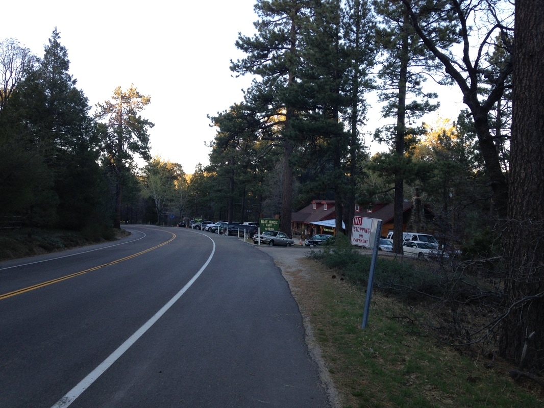
0 Comments
Day 2—March 25, 2016 I wake up better rested than I had expected. The first night out is usually the hardest for me. My fears are in high alert. Is that the wind, or an animal scratching at the tent? Every sound is fodder for my hyperactive imagination. Add the general discomfort of sleeping on the hard earth, and I usually awake several times in the night from achy bones and numb hands. There is a little of this, but I sleep unusually well through the night. When we wake, it is light but before sunrise. We take our time with breakfast. After breakfast, I go in search of a private spot to tend to bathroom needs. The brush is thick, so I find myself climbing between branches towards a small clearing. There are a couple rusty tin cans with pull-tab tops in a makeshift firepit. I don’t know when these pull-tab tops were in common use, but it wasn’t during my lifetime. We break camp shortly after sunrise, and it’s already hot. I can smell the bushes starting to bake, a sharp fresh smell that takes me back to middle school wood shop. The few bird calls serve only to remind us of the overwhelming stillness of the morning. Even the helicopters are resting. The trail immediately starts a long, gentle grade down into Hauser Canyon. It hugs the side of the canyon, then it switches back onto a dirt road, and we cross beneath crackling power lines with the sun in our faces. A spray-painted sign points to a small dirt track that departs from the road, and the trail descends into taller bushes and even some small trees. Shade! We reach the canyon floor. A near-oasis awaits us: carpets of soft grass, large shady oak trees, it appears that perhaps a stream meanders nearby. Except the stream has no water. We expected this from the water reports, and we have plenty in our bottles, but it is still a bit disappointing. We lie in the grass and look up at the fluttering green leaves as we eat dried mango and jelly beans. 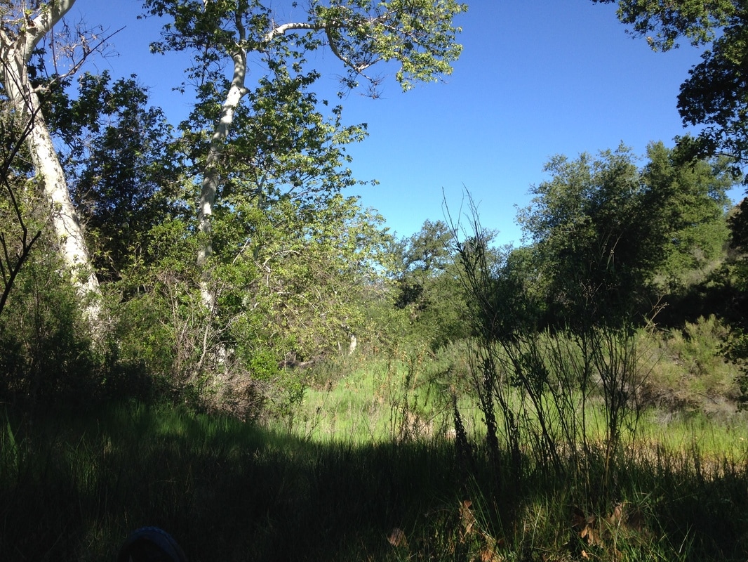 This next section is steep, exposed uphill, so I ask Lindsey if she minds if I hike ahead. I’ll wait for her at the top, I tell her. She’s fine with it. The sun is oppresive, but the strain on my muscles is invigorating as I pull quickly up out of the canyon. Endorphins kick in. By the time I’m halfway, I can feel beads of sweat running down my skin inside my shirt. I feel clean for the first time in months. I look at the rocks and small plants and sun-baked flowers for as long as I can, but eventually my thinking mind takes over and I’m back inside myself. I wonder what my trail name will be. I’m drunk with possibilities. I reach the top before I’m ready to stop, but it’s still early in the hike and I don’t want to cause blisters or overwork my muscles. I see an outcropping with a great view, a ways off trail, and I remember reading about the regrets of finished PCT hikers. The most common regret was not jumping into enough lakes on their hike. There are no lakes nearby, but I think one of my regrets might end up being that I won’t explore off-trail enough, so I vow to start now. I drop my backpack beside the trail, grab my book and a bag of snacks, and pick my way through the brush to the outcropping. A gentle breeze cools me as I sit down to read. Lindsey appears below about a half-hour later and waves. It’s another ten minutes before she reaches my pack, and I am already making my way back to the trail. We break a few more minutes. I can tell the uphill wasn’t as fun for her as it was for me, but she doesn’t seem unhappy, just tired. Our packs are lighter when we strap them on this time. Our water isn’t running low yet, but we still have several miles before our next source. The trail turns away from the canyon and up a small wash where seven vultures circle a spot a small way off trail. A fresh kill? Are there coyotes, a mountain lion nearby? The trail crests a hill and we can see Lake Morena—and its much larger dry basin—below. We take another short break in the spotty shade of the thin chaparral and I explore the nearby rock formations. 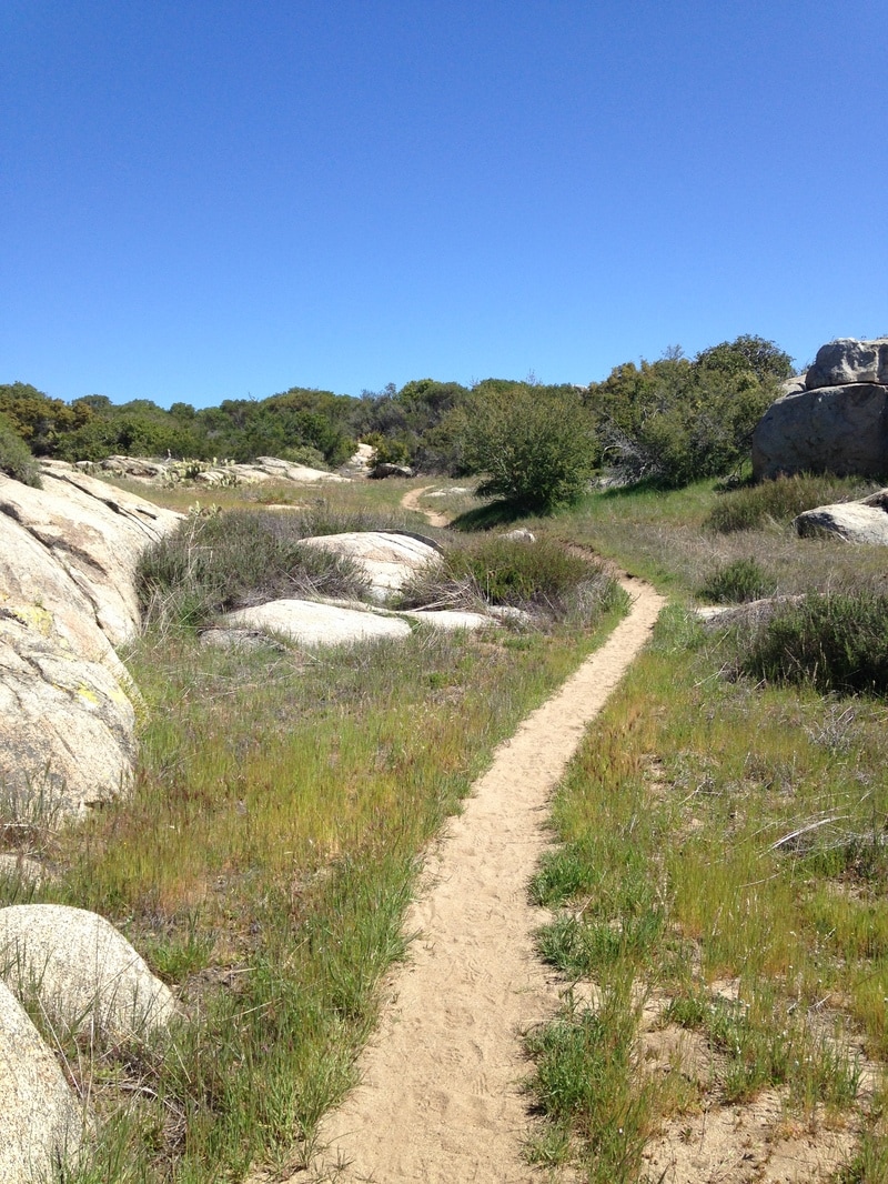 Approaching the crest to Lake Morena. A short descent later, and we are refilling our water at the campground. We start to walk toward the nearby cafe, and get about 100 yards away when Lindsey notices that I don’t have my trekking poles. I turn around, and a park ranger puts them into the bed of an official-looking truck and then climbs into the passenger seat. I shout to him, but he doesn’t hear me and his partner starts to drive away. I drop my pack and run toward them, and the turn puts me in their view. I wave them down and he returns the poles. Lindsey and I have a short roadwalk to the cafe, where we order a pizza and beers for lunch. The crust is okay, but it’s loaded with toppings, especially black olives. When Lindsey and I were planning our wedding vows, we joked about including “I promise to share the olives” in both of our vows. We take our time and depart about two hours later. It takes us a minute to find the trail again, but it cuts alongside the other end of the campground. We see the two girls from the first day, and learn that one of them lost her bandanna already. They are going to camp at the campground with a couple other PCT hikers who they just met. We think briefly about camping with the group, but decide to do a few more miles. For the past 20 years or so, the official PCT crest has elicited a pavlovian response in the adventure centers of my brain. Every time I would see it, I would daydream “someday”. And so this next section fills me with joy as we come across a new crest about every three minutes. The trail is crisscrossed with sandy washes, local trails, and dirt roads, and choosing the correct path from among them would be near impossible without these markers. My joy is contrasting with Lindsey’s fatigue. To be fair, I am tired too, and she is putting on a good face, but I can tell my enthusiasm is starting to grate a bit. I try to tone it down, but it is uncontainable. I am actually doing this! We pass near some houses. The wilderness to civilization ratio hasn’t been great so far, and I wonder whether passing by houses will be a common occurrence on the trail. (Answer: not that common, but more common than I had expected). Later, we start up a ridge with desert views to both sides, and for the first time, I feel like we are actually on something that could be called a crest. It also seems more like classic desert, with cactus and sand rather than chaparral and oak trees.  On the far side, the vegetation returns, and we descend a few switchbacks and stop in the shade of a large oak next to a paved highway with regular-but-not-too-frequent traffic. As I sit on a stumpy part of the trunk, I notice several wooden matches scattered about in the leaves. It maddens me a little, to see someone be so careless (or was it deliberate?) in the dry, extremely fire-prone climate. I collect the matches and put them in my trash bag. A solo hiker comes up, fast, and with a casual stride that makes it obvious that he’s done this before. Everything about him—posture, gait, cheap running shorts—exudes his status; this is not his first jaunt in the woods. We get to talking, and it turns out he is finishing the previous year’s thru-hike, which he had to end early due to an injury. He only has a few days to finish. As he walks off, I notice a bag of potato chips in the outer pocket, and I take a mental note. We pass under the road in a sandy wash. The cement bridge supports are full of black graffiti, some of it from PCT hikers, that has been rubbed on with the charcoal of burned branches. I am disappointed. We follow the trail up the valley and alongside a road for a few miles. It’s flat and grassy, which is somehow more tiring than the ups and downs of the day. Eventually, we cut to the right through pasture land, cross a small bog over a log, and arrive in Boulder Oaks Campground, where we set up camp for the night. 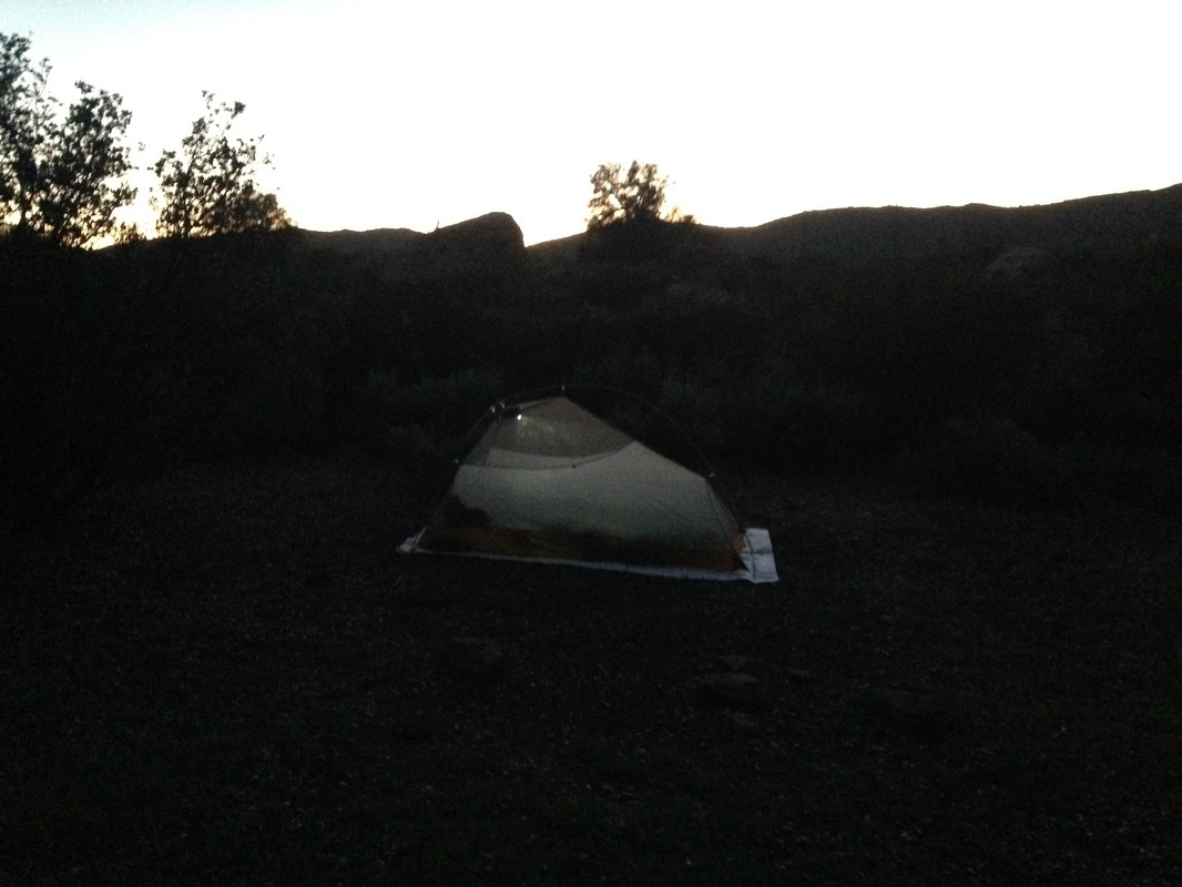 Our little tent in Boulder Oaks Campground. Lindsey and I hoist our packs and look down the packed and eroded dirt slope towards what looks like the trail. My pack sits heavy on my hips: two large platypus bladders and a bottle hold five liters of water in the side pockets, and the main pack is filled with gear and 10 days of food. It’s only about 35 pounds altogether, but it feels like I’ve doubled my weight. We take one more look at the rusted Mexican border wall and the PCT monument, then step off. 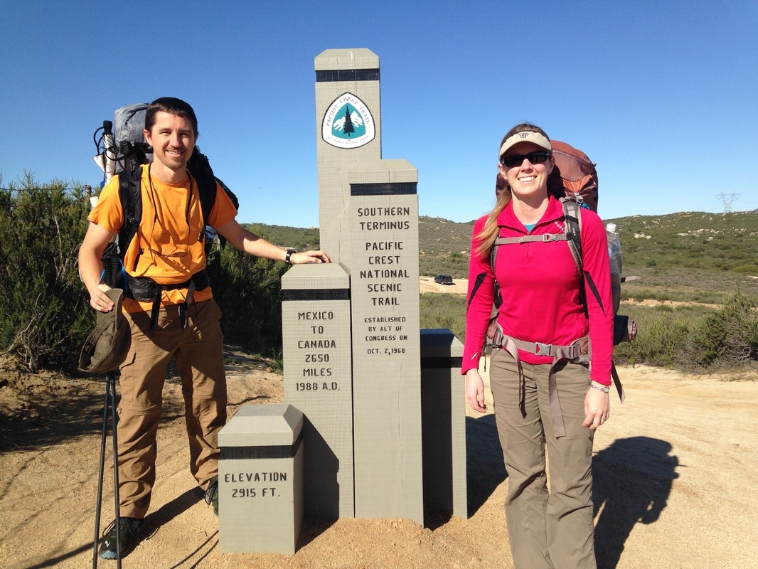 The southern terminus We walk down the dirt, which narrows toward a dirt road, and wave to my mom and my adopted little brother and sister as they bounce off in their Ford Bronco, kicking up dirt. A few seconds later we cross the dirt road, and we seem to have lost the trail. “Oh no, are we lost already?” Lindsey laughs. After scanning the area a few times, I see the small dirt track cleave the brush between two faded orange road cones. And we set off. This is Lindsey’s first real backpacking trip. We’ve done a couple other trips, but they’ve always involved porters that carry your tent and food (Inca trail in Macchu Picchu) or established huts and hostels (2 treks in New Zealand, one in the French Pyrenees). She’s planning to hike the first ten days with me, 142 miles to the Paradise Valley Cafe near Idyllwild. She’s always been a good hiking companion, even if she’s a little slower than me. I’m just hoping she enjoys the all-inclusive experience of backpacking. Those other experiences included a layer of “protection”—a safe space to go at night, other experienced guides to help out if something goes wrong—that true backpacking doesn’t provide. The trail follows roads for the first couple miles, sometimes beside them, sometimes spilling straight on to them. Eventually it turns out and away, and for the first time, I feel like we are touching the wild. And it’s beautiful. This year is a superbloom, and yellow and purple flowers are springing from the ground, spilling from bushes, coating the hillsides. It feels like wilderness despite the sounds of helicopters, which churn the air every fifteen minutes or so. The air is cool, but we can already feel it’s going to be a hot day. We cross another road, and then railroad tracks. We meet Tim, a young hiker from the Netherlands who is on a gap year trip and is dressed for northern European weather: black jeans, wool cap, long sleeves. It’s already over 80 degrees and I’m uncomfortably warm in my light, quick-dry hiking clothes. Tim’s face is flushed and his pack looks heavy. The three of us stop for a snack on a broad rock next to the trail. Lindsey offers Tim a granola bar, and he asks to check the ingredients. “Do you have allergies?” Lindsey asks him. “Yah, penis.” It’s his accent. He said peanuts, but I laugh anyway. I’m in a great mood and everything seems funny and exciting and buzzing with aliveness. The granola bar doesn’t have any peanuts, so Tim eats it. We hike on together, down into a small shaded canyon. Tim stops to rest, but it’s only been 15 minutes so Lindsey and I continue on without him. We won’t see him again. I wonder whether he’ll be one of the many hikers who quits early on. Then I wonder if I will. I don’t think so, but I can’t be certain. About an hour later, we pass two girls resting in the shade, lying on their sleeping pads. There isn’t much shade here, and we’re on our first long uphill climb. Lindsey and I find some shade beside a droopy flowering bush a little later, and soon the girls have passed us. They mention that their bandanas, teal and green, are the same colors as ours. I joke about good taste. We’ll hopscotch with them for the rest of the day. We hike up an exposed hill. It feels like wild desert now, and the heat is oppressive. As we reach the top, I can see the border wall to the south. Strange that the trail is headed south right now; it’ll take a long time to get to Canada at this rate. At the same time, I can’t believe how far we’ve already come. A raven perches on a long-dead and bare tree aside the trail, the only wildlife we’ve seen so far. Lindsey is suffering from a headache, and there’s no shade in sight, so we rest beneath my Chrome Dome umbrella and she tries, unsuccessfully, to nap while I look at a tangle of grasses and flowers and think about the immensity of this trip. 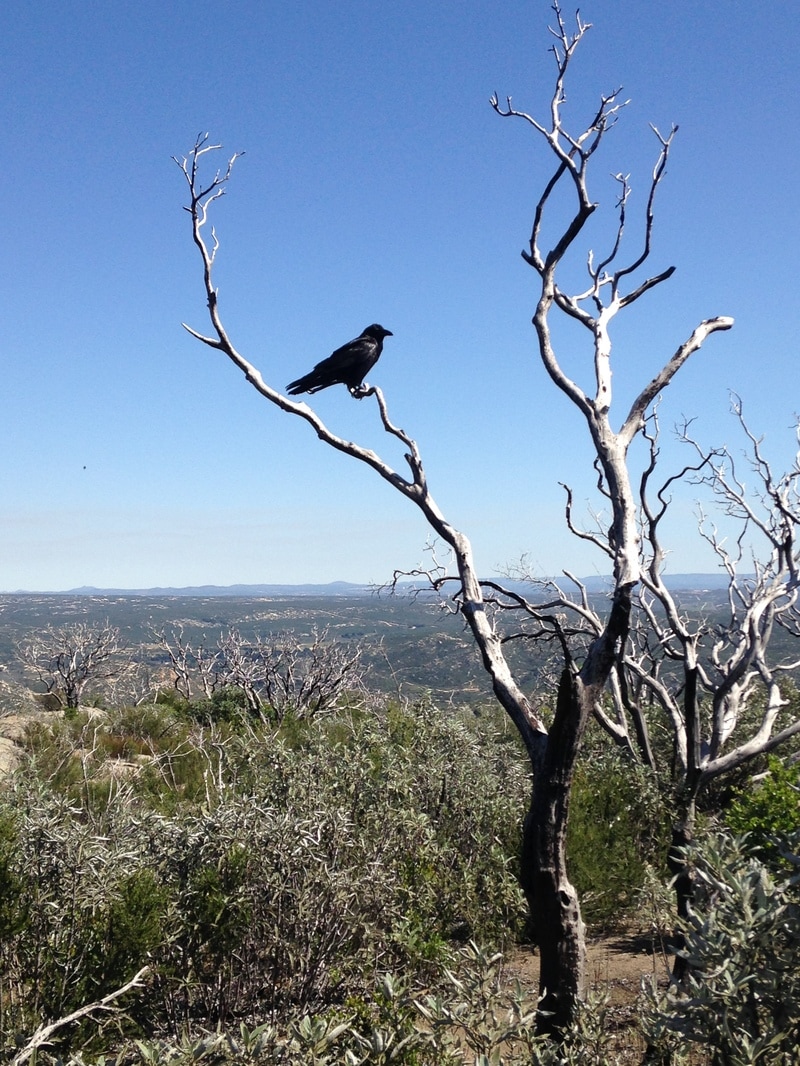 Our lone wildlife (aside from lizards, of course) from the first day. When I first made my decision to hike the Pacific Crest Trail, I was 14 years old. I had a lot of dreams then. Over the years, many of those dreams have given way in the face of reality and other interests, but my desire to hike the PCT has only deepened. The plan is to do it over two summers and as many smaller trips as I can. Today is March 24th, the first day of my spring break (I teach high school band). Lindsey is joining me for this 10-day trip, and my friend Brian will join me for a couple weekend trips, but the bulk of the trip will be done solo. I’m hoping to get 300-400 miles of the desert done before I start summer break, so that I can avoid some of the heat. I’m not thrilled to break it up this way, but I don’t see a way that I can do a true through-hike at this point in my life, and I don’t want to wait until I retire before I complete this dream. Fulfilled dreams become treasured memories that you can enjoy for the rest of your life. Even if the stars someday align and every condition is perfect to follow your dream, how many years of enjoyment will you have lost? What lessons have you delayed? What opportunities will you have missed? If I get 300 miles done before summer, I can do another 700 or so this summer and make it to Sonora Pass in the Sierras. Then a few trips this fall before the snows come, and a few more in the spring, and I might be able to get through more than half the trail before next summer. Then it gets tricky. The further North I get, the more likely there will still be snow when I start. That will slow my progress and make it difficult to finish by the end of next summer. While Lindsey tries to sleep in the small patch of shade we’re sharing, I try to work out how I can squeeze in more miles and more trips so that I can finish in time. I start to get restless. Lindsey asks for water, and then we stand and stretch. My butt is sore and half-asleep from the hard ground. We hike on in the heat, groggy and quiet. We’re headed north again, and coming downhill. The brush thickens and forms walls on both sides of the trail. It’s getting close to evening. As we cross a dirt road, we see the two girls from earlier setting up camp in a small turnout downhill from the trail. The trail flattens out and turns left as we approach Hauser Canyon. We find a small site overlooking the canyon and set up camp. Helicopters continue to fly overhead all night. 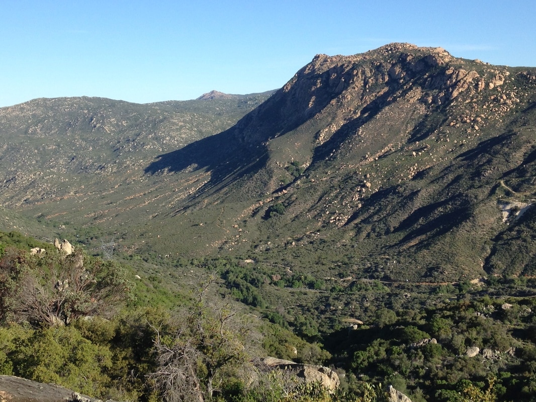 Hauser Canyon from our campsite. |
Author
Nick is a teacher, writer, and amateur adventurer. Archives
June 2020
Categories |
 RSS Feed
